
Cuyahoga Falls Neighbor Records
The useful public sources for a Cuyahoga Falls block are place-based. The county Parcel Viewer locates the focal parcel and the parcels that touch it. The property card gives the public owner or tax entity and distinguishes the situs from a mailing field. Recorded documents can show a dated transfer for one parcel. The city map adds ward, zoning, and code-enforcement context. Community programs provide authorized public contacts, not a roster of private households.
These sources are strongest when used one parcel at a time. They do not establish every occupant, renter, guest, utility customer, or delivery recipient. Treat a person’s connection to the block as a record-specific fact that may need a second source and a date.
| Block source | What it shows about a block | Access |
|---|---|---|
| Summit Parcel Viewer | Adjacent parcel geometry and address, owner, or parcel search path | Public map viewer |
| Fiscal Office property card | Tax-owner link, situs, mailing, and parcel context | Public property access |
| Recorded documents | Dated instrument links for each separate parcel | Recording Division index, counter, or mail |
| City Interactive Mapping | Ward, zoning, code, and tax-information context | Address or parcel map |
| NECCO | City outreach and neighborhood contact structure | Public department channel |
| Historic street directories | Past listed households or businesses by volume year | Library and Special Collections |
Cuyahoga Falls Adjacent Parcels
The Summit County Parcel Viewer offers the proper public method for looking around a block. Its search prompt accepts a parcel number, owner name, or street address. Locate the focal parcel, then visually select parcels that share a boundary or are immediately adjacent on the same street. Record each parcel identifier before opening a separate property record. Do not infer ownership from a map label alone.
The adjacent-parcel method is deliberately narrow. It follows actual parcel lines rather than guessing a block’s extent. Each nearby parcel has its own title history and tax record. A property owner shown on one lot says nothing conclusive about the next parcel or about a full household.
- Find the known address in the Parcel Viewer.
- Confirm the focal parcel geometry and parcel number.
- Select only the contiguous or immediately adjacent parcels needed for the question.
- Open a separate Fiscal Office record for each parcel and preserve its situs and mailing distinction.
- Use the Recording Division only when a dated ownership question remains for that specific parcel.
Mapping a Cuyahoga Falls Block
Property map work becomes more useful when it is paired with the city’s Interactive Mapping overview. The city says its local Building Blocks tool can search by address or parcel ID and returns zoning designation, council ward, code-enforcement records, tax information, satellite view, and street view. That context can explain why records are kept by different local offices.
The county and city maps answer distinct questions. The county system is the parcel locator. The city mapping page is the source for local ward, zoning, and code context. Neither map makes an adjacent owner field into a resident directory.
The city mapping source describes the local address and parcel layer available around a Cuyahoga Falls block.
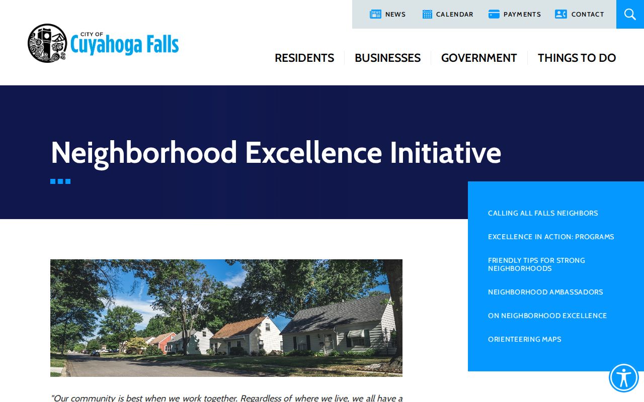
City neighborhood programs add public civic context without publishing personal neighbor lists.
For the whole named-street deed and directory sequence, the Cuyahoga Falls street directory follows the address chain in more detail.
Cuyahoga Falls Owner and Occupant Differences
A property card connects a tax owner, tax entity, or billing contact to a parcel. The situs is the parcel’s physical location. The mailing address is where correspondence goes, and it may be outside Cuyahoga Falls. A trust, estate, company, agent, or family member can appear as the owner or mailing recipient. None of those fields proves a particular person currently lives at the property.
The same distinction applies to a recorded deed. It links grantor and grantee to a dated instrument and legal description. It does not identify all residents at the time of sale. When a lawful question calls for a name-specific registration check, Ohio Voter Search is a separate, match-oriented tool with its own limits and confidential records.
| Official record route | Useful block fact | Important limit |
|---|---|---|
| Parcel / property card | Parcel and tax-owner connection | Not an occupancy roster |
| Recorded instrument | Party and transfer date | Not proof of present residence |
| Ohio Voter Search | Named registration and polling context | Not a by-block directory |
| City map | Ward, zoning, or code context | Does not list household members |
Cuyahoga Falls Community Contacts
Cuyahoga Falls does not publish an authoritative all-neighborhood-association or HOA membership directory. Its documented community layer is Neighborhood Excellence, Communications & Community Outreach, known as NECCO, and the Neighborhood Ambassador Program. NECCO runs neighborhood-excellence, outreach, educational, environmental, and citizen-involvement work. The city describes ambassadors as local connectors who help residents find city resources, not as a personal-contact directory.
Neighborhood Excellence Initiative
City participation and neighborhood-improvement route
Ask for public program information or an authorized association contact.
One city example notes the Reserve at East Bath Association working toward a directory. That does not establish a public searchable directory. Ask NECCO whether a named association has an authorized public contact path; do not request private member information.
The NECCO department page shows the city’s public neighborhood-contact layer.
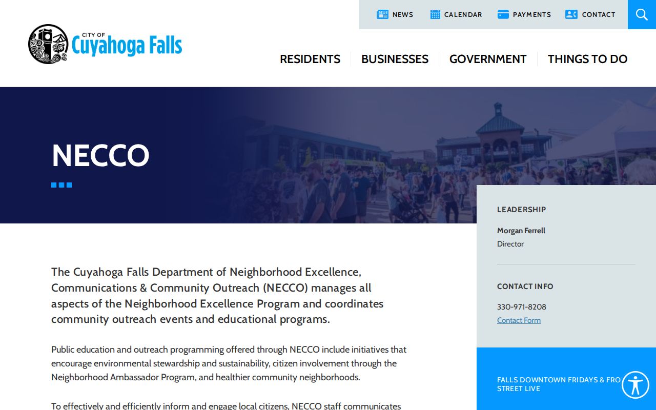
NECCO is a route for neighborhood resources and participation rather than a substitute for official parcel records.
Cuyahoga Falls Voter Boundaries
Ohio Voter Search requires a first name, last name, and county. For a Cuyahoga Falls registration, select Summit County. A successful match can supply registration, precinct, and polling-place information, but the public tool is for a particular named person. It is not designed to list all voters near an address. The Summit County street report and advanced report are official data routes with terms, confidentiality rules, and report options that must be read in the live system.
R.C. 3503.153 sets public voter-information requirements, while R.C. 3503.13 excludes protected data. Safe at Home participants have confidential voter information. Election participation history is not a record of candidate selections. Contact the Board of Elections for a correction, a local process question, or a lawful file request.
Ohio voter-data exclusions are part of any responsible Cuyahoga Falls neighbors search.
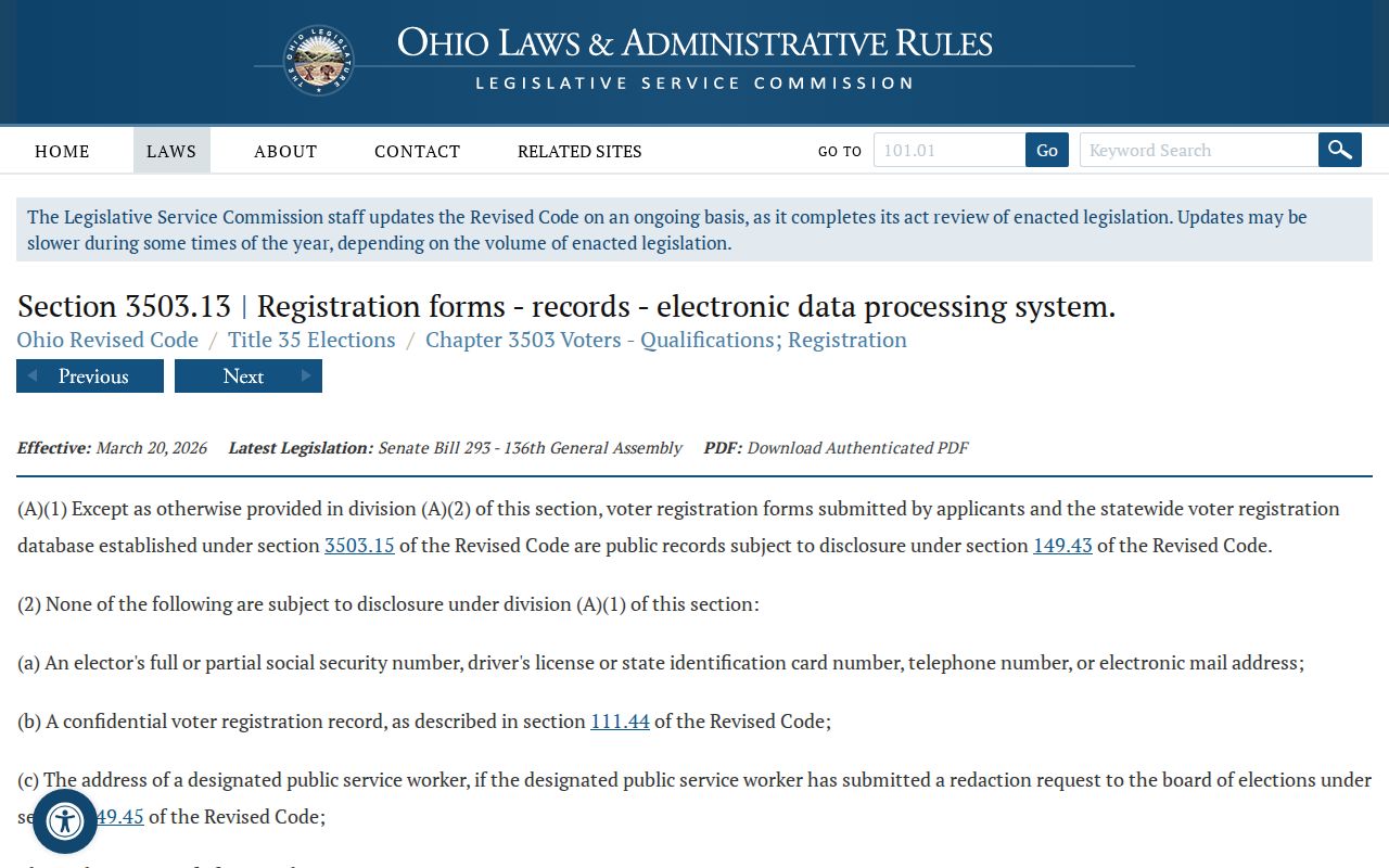
The statute is a reminder that a block search has a boundary even when public mapping is available.
Cuyahoga Falls Neighbor Tools Compared
Official block records identify a custodian, a date, and a defined record type. Commercial neighbor-lookup categories can combine sources, charge for access, carry stale material, and merge same-named people. They are not linked here. For a parcel question, the official map and property card are more transparent about what the field means. For a community question, an authorized city contact is more appropriate than a compiled list.
| Official block route | Commercial compiled category |
|---|---|
| Shows a stated parcel, map, or dated record connection. | May combine data with unclear dates or sources. |
| Names the office that can answer a record question. | May not identify the underlying custodian. |
| Preserves limits on confidential records. | Cannot override legal protections or correction channels. |
For a family-history block question, historic street directories, maps, and newspapers can add a dated context. They should remain distinct from current property and registration information.
Cuyahoga Falls Historic Blocks
Older Cuyahoga Falls blocks can carry different locality names. The city began as Manchester, and the 1985/1986 Northampton Township merger means a former-township property can appear under Northampton Township in older maps, deeds, obituaries, or directories. Start the historic search with the parcel legal description and then compare the old map and directory date. Do not replace an old locality label with the current city name without checking the record context.
Akron-Summit County Public Library Special Collections keeps historic city and street directories, including later Haines criss-cross volumes for address-to-listed-name research. Cuyahoga Falls History and Summit Memory provide local directory and map leads. Those sources place past people or businesses on a block in the year shown; they do not establish current neighbors.
Note: Preserve the printed street spelling, house number, directory year, and map date before deciding that two historic block references identify the same parcel.
Cuyahoga Falls Neighbor Privacy
Private information does not become public because it is near a known address. Utility customer and delivery information are not open block directories. DMV personal data is protected. Courts can seal or redact material. Safe at Home participants have confidential address and voter information under Ohio law, and public-service workers can seek qualifying online redaction. A missing person from a public block record is a privacy boundary, not a gap to defeat.
Ohio Safe at Home explains the state’s address-confidentiality program. Any request for an existing nonexempt record should follow the custodian’s process and Ohio’s Public Records Act.
For a block question that turns into a records request, state the parcel, address, date range, and record type. That gives the city or county office a defined item to locate while respecting the limits on private neighbor information.
Ohio’s address-redaction provision describes an additional protected-information route.
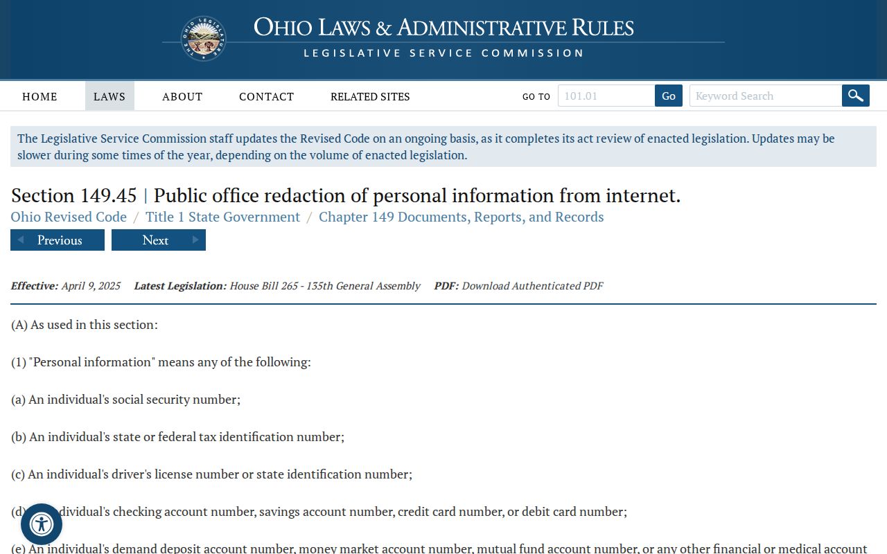
Privacy rules apply alongside the public parcel map and are part of an accurate block record.