
Walking a Cuyahoga Falls Street
A Cuyahoga Falls street directory search works best as an address-record chain. Postal matching first prevents a bad number or street form from being carried into county files. The county parcel map identifies the physical parcel. The property card supplies the tax-owner field and legal-description clue. A deed search can then connect dated parties to that legal description. Historical city or reverse directories supply the household layer for years they actually cover.
Each step has a limit. The tax owner may be an estate, trust, business, or remote mailing recipient. A deed party may not have lived at the property. A historic directory is a snapshot for its publication year. The correct outcome may be an ownership trail rather than a claim about every person at an address.
- Use USPS ZIP Code Lookup to standardize the deliverable address.
- Enter that address in the Summit County Parcel Viewer and select the matching parcel.
- Open the Fiscal Office property record and preserve the parcel number, situs, tax year, owner field, and legal-description clue.
- Use the legal description and acquisition party in the Recording Division search, then compare earlier grantor and grantee records.
- For an earlier household, check the appropriate street or criss-cross directory, census, newspaper, or map rather than assuming the owner occupied the property.
Cuyahoga Falls Parcel Search Fields
The county Parcel Viewer uses one visible combined search prompt: “Search Parcel Number, Owner Name, or Street Address.” It is a locator for the map and adjacent parcel geometry. The companion Fiscal Office property access route supplies the appraisal and tax context. The public description supports parcel, owner, street address, ZIP, tax year, and related property fields, but live screens are dynamic. Keep a search narrow and recheck the current interface before relying on a form label.
| Portal | Field or entry route | How it helps the street directory |
|---|---|---|
| Summit Parcel Viewer | Parcel number, owner name, or street address | Finds a map parcel and nearby geometry. |
| City Building Blocks map | Address or parcel ID | Adds ward, zoning, code-enforcement, and tax-information context. |
| Fiscal Office property access | Owner, address, parcel, ZIP, tax-year paths | Supplies property and tax administration fields. |
| Recording Division | Live vendor form must be checked | Uses party and document information after parcel research. |
A parcel number is a durable bridge. A street number can be changed, abbreviated, or absent in an old instrument, while a lot, block, subdivision, tract, or survey description travels with the property record.
Cuyahoga Falls Street Map Context
The city Interactive Mapping page is a second address route, not a replacement for the county parcel viewer. Cuyahoga Falls describes its Building Blocks map as searchable by address or parcel ID, with zoning designation, council ward, code-enforcement references, tax information, satellite view, and street view. Use it after parcel selection when the street question includes city geography or a local code record.
The county map and city map have different jobs. The county viewer helps identify parcel geometry, while the city’s published page adds ward and local planning context. Neither one identifies a complete current household. The map is a place finder that points to the office which keeps the underlying record.
The Recording Division functions page explains the public record and copy channels that follow the map work.
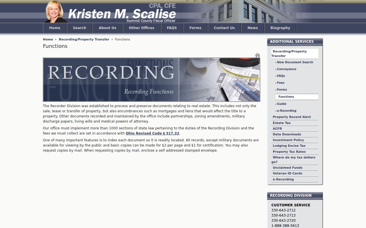
Once the parcel is identified, the recorder route can connect it to named and dated instruments rather than a broad street list.
Cuyahoga Falls Street Records
Address-keyed records answer different parts of a street question. The table distinguishes public property and document connections from records that may only offer local context. It also shows why a current owner, a permit applicant, and a historical directory entry should not be collapsed into one label.
| Address record | Keeper | What the street record shows | Access channel |
|---|---|---|---|
| Property / tax record | Summit Fiscal Office | Parcel, situs, owner/tax and mailing distinctions | Public access, counter, phone |
| Parcel map | Summit County GIS | Parcel geometry and address/owner search path | Public viewer |
| Recorded instruments | Recording Division | Deeds, liens, mortgages, plats, legal descriptions | Index, counter, mail |
| City mapping context | Cuyahoga Falls Planning | Ward, zoning, code and tax-information connections | Address or parcel lookup |
| Permits / inspections | City Planning or County Building Standards | Address and date-specific work record | Request by specific address and period |
| Historic directories | ASCPL / local library | Printed names or street entries for their year | Digital, library, or research-room route |
For a question about an individual rather than the address chain, use the separate Cuyahoga Falls resident lookup process. It starts with independent identifiers, not a street-wide assumption.
Cuyahoga Falls Deed Chain by Address
The deed chain is a sequence of recorded property transfers. Begin with the current parcel’s legal description, present owner field, and acquisition document. In the Recording Division system, capture each grantor, grantee, recording date, instrument number or book/page, legal description, and previous-document reference. Search the seller as a prior grantee, then test that the lot or tract description still matches. An instrument often lacks a usable street address, which is why the legal description matters.
The Fiscal Office describes public viewing for nonmilitary records. The project records map says public online viewing begins in 1988 and directs 1840–1988 historical work to IBAV or counter channels. Check the current official route for the particular document because the inspected document page does not publish one universal web-index start year. If the online result stops, use the recorder counter or mail-copy route rather than treating the web boundary as a break in title.
- Parcel
- A tax and map unit used to identify land.
- Situs address
- The physical location of a parcel, distinct from the tax mailing address.
- Plat
- A recorded map that lays out lots, streets, or subdivisions.
- Legal description
- The lot, block, subdivision, tract, or survey language that identifies land in recorded documents.
Cuyahoga Falls Permit Trails
Permits and code records can date work at an address, but they are not a street directory of residents. The city’s permit and forms index is a finding aid for planning, zoning, engineering, and related city applications. City Planning handles zoning certificates and standards. The city identifies Summit County Department of Building Standards as the office that handles building applications, permits, and inspections for Cuyahoga Falls.
Ask for an existing record with the address, approximate date range, and work type. That lets the office identify whether a city planning file or county building file is responsive. An application can identify a named participant in a public file, but it does not establish who lived in every unit or at every point in time.
Summit County Building Standards permit search is the county’s online entry point for the separate permit and inspection route.
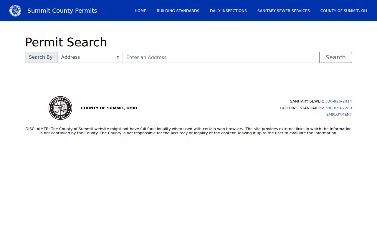
The county search belongs alongside a precise address and date request when the online result does not answer the record question.
The city forms page shows the municipal starting point for address-specific planning and zoning paperwork.
Permit material works best as timing evidence alongside the parcel, deed, and directory trail.
Cuyahoga Falls Street Directory History
Historic street material belongs with the library shelf. Akron-Summit County Public Library Special Collections maintains historic city directories in which Cuyahoga Falls appears in most years, subject to volume-by-volume confirmation. A 1941 street directory format can show a street or route heading, side of street, number, listed household, unit where printed, telephone number, vacancy notation, cross streets, boundary clues, and business or institution occupants. The exact key and contents need to be read in the volume used.
Haines Akron and Suburban Criss-Cross directories provide the reverse route, address to listed name or business, at Special Collections. The project research did not establish exact years for the Haines run, so request the relevant date in the research room instead of guessing. That historical shelf is explored fully on the Cuyahoga Falls city directory page.
ASCPL Historic City Directories describes the directory and street-directory access route.
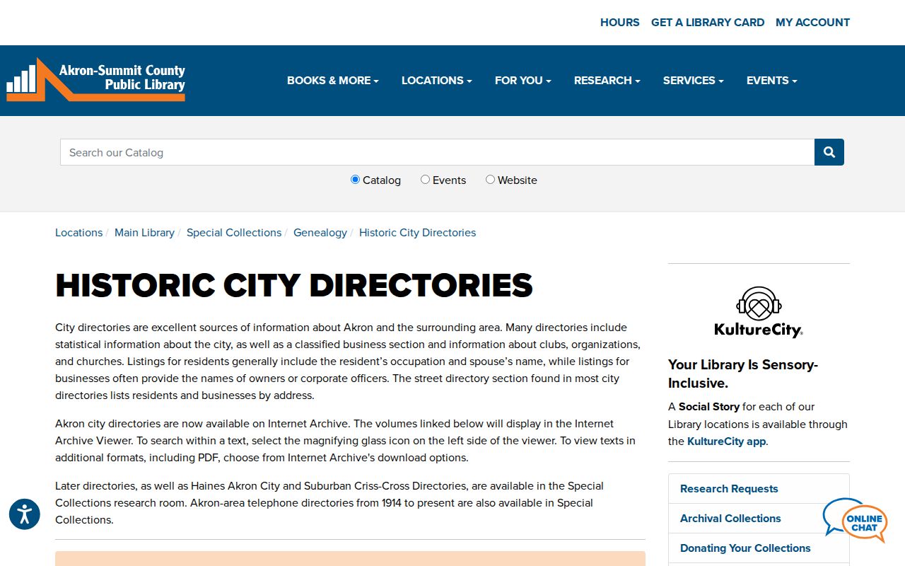
A printed street entry is evidence for the page’s publication period, not a current address list.
Note: Check the volume’s abbreviation key before interpreting occupation, residence, telephone, vacancy, or household notation.
Cuyahoga Falls Street Names Over Time
Historic address work has a local geography trap. Cuyahoga Falls began as Manchester, and the city merged with Northampton Township in 1985/1986. Older deeds, maps, cemetery references, and directories in the northern former-township area can use Northampton Township or Manchester rather than the current city label. Carry both historical place names into the search and anchor the result to the legal description, lot, or historic map.
For an older building or street pattern, Sanborn sheets and historic maps help explain the block and building footprint. They do not prove occupancy. Use them with a dated directory, census, or recorded instrument. The current city boundary and postal delivery label should never be projected backward over an earlier source without that bridge.
Cuyahoga Falls Voter Street Limits
Ohio Voter Search is for a named person with first name, last name, and county. It does not provide a public street-browser. Summit County does have an official street report route with PDF or CSV output and precinct, district, polling-location, and sorting choices, but it must be used under its terms and the state confidentiality rules. The researched form did not expose labels for its two street-range inputs, so those labels should be read in the live system.
Safe at Home and other protected voter information are not a workaround puzzle. R.C. 3503.13 lists excluded voter data, and R.C. 3503.26 can limit copying around elections. The Board of Elections is the correct office for a local format or records-process question.
Cuyahoga Falls Street Directory Limits
A Cuyahoga Falls street directory cannot identify every person at a location. Parcel cards do not list all occupants. A tax mailing address may belong to a trustee, estate, entity, agent, or an out-of-town recipient. Utility, delivery, DMV, confidential voter, and protected-address information are not public address directories. A city map can locate a record reference without making private household data public.
Ohio’s Public Records Act provides access to nonexempt existing records, not a demand for a list of people on a street. Ask the responsible custodian for a focused document or file when the online search ends.
The Recording Division can also supply copies through its counter and mail route. Its researched schedule lists $2 per copied page and $1 for certification, subject to the live fee page. Include an instrument number, book and page, or recording date when known. A self-addressed stamped envelope is part of the stated mail-copy channel, and the office can confirm the right historical book or microfilm route before a request is sent.
Before visiting, confirm the counter location and hours on the Fiscal Office’s current notice because the office has reported a temporary relocation during the Ohio Building renovation.