
Cuyahoga Falls Previous Residents Sources
One address has several timelines. The Summit County Fiscal Office connects a current parcel to recorded instruments. Directories and census schedules help distinguish an owner from a household. Probate, cemetery, newspaper, and map sources can test a date or family connection. Each source has a different access channel. A blank online result should send the searcher to the appropriate counter, archive, library, or request route, not end the inquiry.
| Source | Years it covers | Where held | What it shows |
|---|---|---|---|
| Recorded documents | Land-record trail from 1840; Records Access Map states online viewing is 1988 forward | Summit Fiscal Office Recording Division, IBAV/counter for historical material | Instruments, parties, dates, legal-description chain |
| Probate estates, marriages, guardianships | 1840 onward | Summit Probate Court | Heirs, fiduciaries, estate and marriage context |
| Probate births and deaths | 1869-1908 | Summit Probate records route | Historic local vital-registration context |
| Cuyahoga Falls directories | 1859-1891 digitized locally | Cuyahoga Falls History | Printed name, street, and business context |
| ASCPL metropolitan directories | Known 1937-39 and 1958-69 examples; verify each volume | ASCPL Special Collections | Later name and address entries where locally included |
| Federal census | 1950 and earlier currently released | National Archives and library databases | Household at the enumeration date |
Permit and planning files provide a separate timing lead, but no online start year was found for them. Cuyahoga Falls Planning and Summit Building Standards are the documented channels when an address and an approximate date need a public-record request.
Cuyahoga Falls Parcel Before Past Residents
Use the current parcel as the starting point. The Summit County Parcel Viewer accepts a parcel number, owner name, or street address. Its companion Property Access route can supply the parcel identifier, situs address, current tax owner, legal-description clues, tax year, and transfer reference. Write down the legal description before turning to a deed. A street number can change or be absent from an old instrument. The legal description is the durable link from today's parcel to a lot, subdivision, or earlier record.
Property ownership is a lead, not a conclusion about who lived in the building. A sale may involve a trust, estate, or agent. The owner or mailing field can differ from the situs address. That distinction is the reason a responsible previous-residents search adds a directory, census, obituary, or other dated household source after the deed trail is assembled.
Note: Preserve the parcel number, exact legal description, and source date together, because a bare street number is the least stable part of an old address search.
Cuyahoga Falls Recorded Deed Access
The Summit County Fiscal Office Recording Division indexes public nonmilitary records and provides a document-search route. The project's Records Access Map states that public online document viewing is 1988 forward and historical 1840-1988 material is available through IBAV or counter channels. The inspected Recorded Documents page itself did not state the online start year. Keep that distinction in a research log, and confirm the working search channel for the document, township, and date needed.
When online viewing is incomplete, use the Recording Division counter or mail-copy route. A focused Ohio Public Records Act request can seek an existing named document. The office's function page gives a 175 S. Main St., fourth-floor counter, 7:30 a.m. to 4 p.m., and 330-643-2720 as published contact details. The Fiscal Office has announced temporary Grant Street locations during Ohio Building renovation through late 2026, so verify the counter location through its current relocation notice before going in person.
A recorded copy costs $2 per page and certification adds $1 under the published fee schedule. Call first if the copy type, page count, or counter location affects the request.
Open the Recording Division fee page before using this Cuyahoga Falls previous residents image.
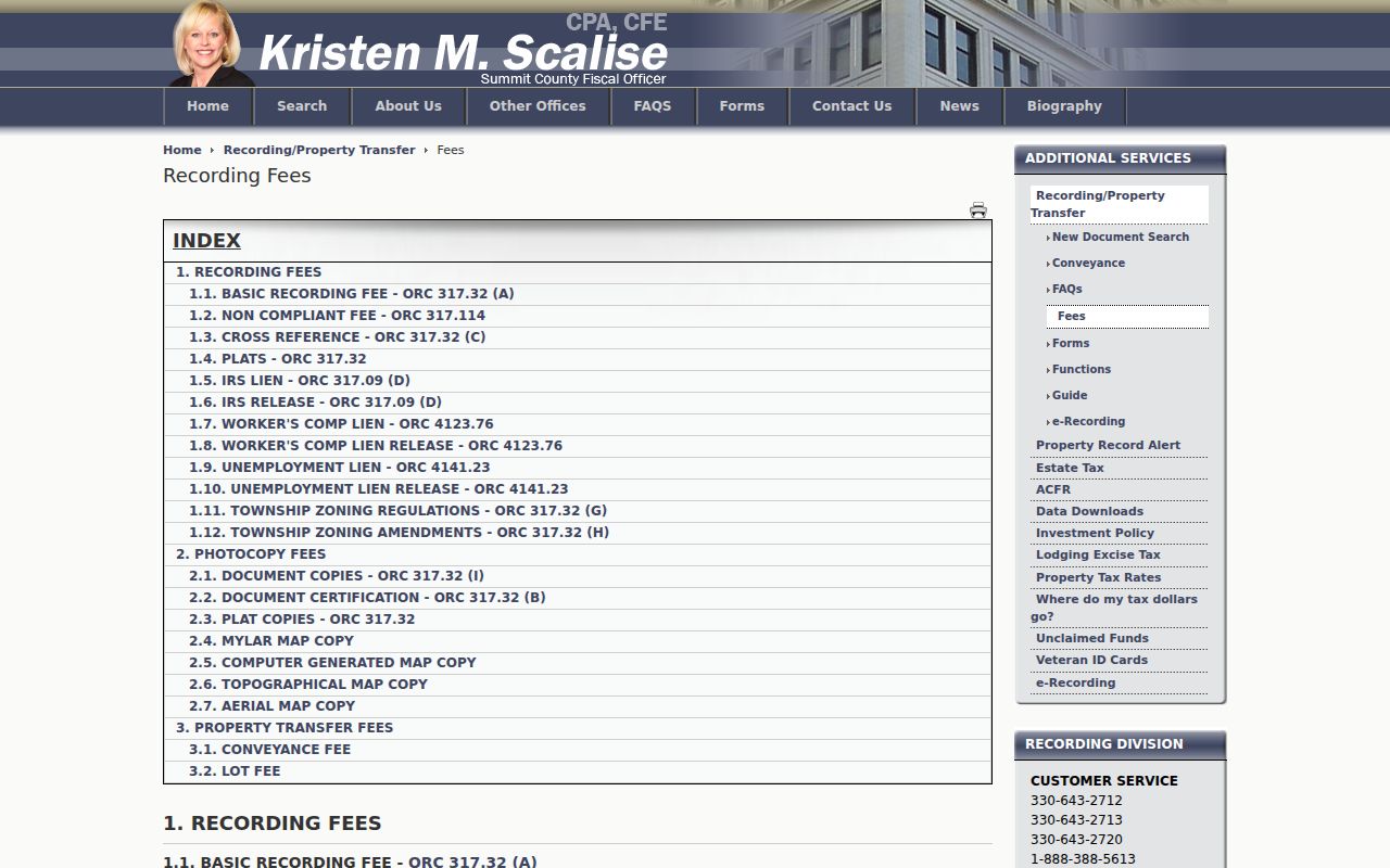
The published fee route helps separate an index search from ordering a copy or a certified copy of the recorded instrument.
Cuyahoga Falls Previous Residents Deed Trail
A chain of title is the sequence of ownership instruments for one legal parcel. It is traced backward, party by party, rather than by a loose collection of same-address hits. Locate the present owner's acquisition deed by grantee, date, document type, legal description, or document reference where the live index allows. Record the grantor, grantee, recording date, instrument number or book and page, legal description, and any prior-document reference. Then search the seller as an earlier grantee and compare the legal description again.
- Pull the current parcel, legal description, and tax-roll owner from Property Access or the Parcel Viewer.
- Find the owner's acquisition deed in the Recording Division index and record its identifying fields.
- Search the seller as a grantee to locate that earlier acquisition, not merely another document with a similar address.
- Compare lot, block, subdivision, and legal-description wording before accepting the prior transfer.
- Repeat backward, then use IBAV, the counter, mail copies, or a precise request when the online route no longer supplies the needed record.
- Grantor / grantee
- The grantor transfers an interest in a document. The grantee receives it. Their roles can switch as the same property is traced backward.
- Chain of title
- The linked transfer history for one parcel, checked through matching legal descriptions and instrument references.
- Legal description
- The lot, subdivision, metes, or other property wording in a record. It is more reliable than a street address for older instruments.
Cuyahoga Falls Previous Residents Geography
The main continuity trap here is local geography, not a documented citywide renumbering. Cuyahoga Falls began as Manchester in 1812, was platted in 1826, and incorporated in 1836. Former Northampton Township entered the city through a 1985 approval and the 1985-86 merger period. Earlier deeds, maps, cemetery references, and directories can therefore identify the same area as Manchester or Northampton Township. Do not replace those terms mechanically with today's city name.
Use the legal description with a historical map when the old street seems to disappear. Summit County itself began in 1840 from townships previously associated with Medina, Portage, and Stark counties. That predecessor-jurisdiction context can matter for very early land or probate work. The map should bridge terms and boundaries, not prove that a particular person lived at a site.
Cuyahoga Falls Past Residents in Directories
After the deed chain identifies a likely address link, use printed sources to learn who was listed there. Cuyahoga Falls History provides digitized directory materials for 1859-1891. ASCPL's Historic City Directories page documents a larger Akron-Summit run, while warning that Cuyahoga Falls occurs in most volumes rather than guaranteeing inclusion every year. Haines Akron and Suburban Criss-Cross volumes reverse an address to a listed name or business, but ASCPL has not published an exact year run. Request the relevant years in Special Collections.
Pair directory years with the closest released census. The National Archives follows a 72-year release rule, so 1950 and earlier federal census records are the current public census layer. Treat a directory or census address as period evidence. Enumeration geography, numbering, and local place labels can differ from a modern parcel. The printed collections and entry-reading rules are described in more depth in the Cuyahoga Falls city directory resource.
- Transcribe the directory name, year, street spelling, number, and all initials exactly.
- Check the next available directory, rather than assuming the next calendar year was issued or includes Cuyahoga Falls.
- Compare the closest released census for household members and the enumeration date.
- Use probate, the death index, newspapers, or cemetery sources to test a move, estate, or death lead.
Cuyahoga Falls Previous Residents Map Checks
Historic maps date the physical place, not its full human story. Summit Memory offers an 1856 county map, an 1874 atlas, a 1910 atlas, and a 1915 plat book. Sanborn sheets are another route, but the exact relevant sheet and geographic coverage need checking before an address conclusion is made. The Library of Congress series has Cuyahoga Falls sheets from 1884, 1889, 1893, 1901, 1916, and 1927; the later titles also include neighboring places, which makes sheet selection important.
Open the Summit Memory historic map collection before using this Cuyahoga Falls previous residents image.
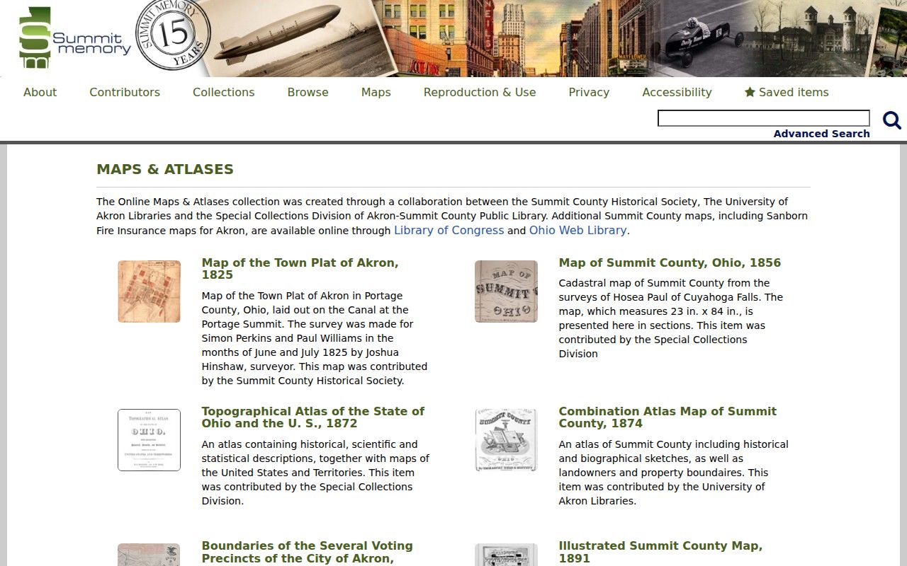
A dated atlas or plat can explain a lot or street reference in an older deed, but it must be joined to directories or census records to establish a household connection.
Cuyahoga Falls Previous Residents Timing Clues
Permits, planning files, and property cards can add timing evidence for an old address. Cuyahoga Falls Planning and Summit Building Standards are the documented routes for construction, alteration, certificates, applications, and inspection material. No online coverage start was found for these files. Give the office an address, city, approximate date, and a narrow description of the existing record being requested. A permit records an address event. It does not list everyone who lived there.
The local-history fallback is Cuyahoga Falls Library, 2015 Third St., at 330-928-2117 extension 2000. Its Local History Collection holds local directories, yearbooks, books, Reporter microfilm from 1870-1952, and News Press microfilm from 1930-1979 and 1981-2014. The published run has a 1980 gap. Ask for a local-history or ASCPL referral with the address and years, rather than expecting a dedicated house-history file.
Cuyahoga Falls Previous Residents Endpoints
Estate, marriage, guardianship, obituary, death, and burial material can close a historical address trail. Summit Probate records estates, marriages, and guardianships from 1840, and its historic birth/death records cover 1869-1908. The Ohio History Connection death index is a separate state route for a death-certificate lead. Newspaper notices can support dates and family relationships, but they are not legal proof of residence.
Start with the Cuyahoga Falls cemetery portal when a name and cemetery are known.
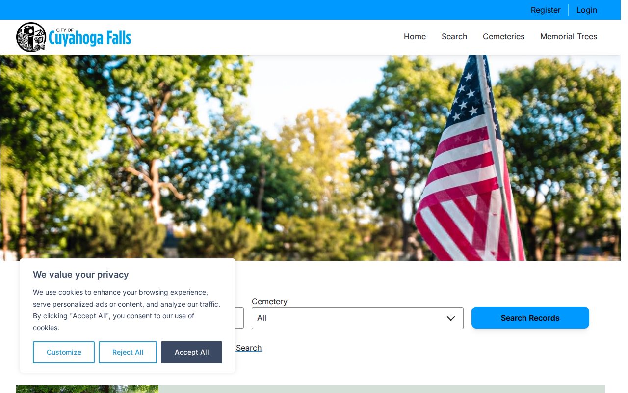
The cemetery portal offers a name, country, and cemetery search with varying completeness. City sources state that Botzum has no city burial records, so an empty result is limited evidence.
The City Cemetery Services page is the other official route for cemetery guidance and caller contact.
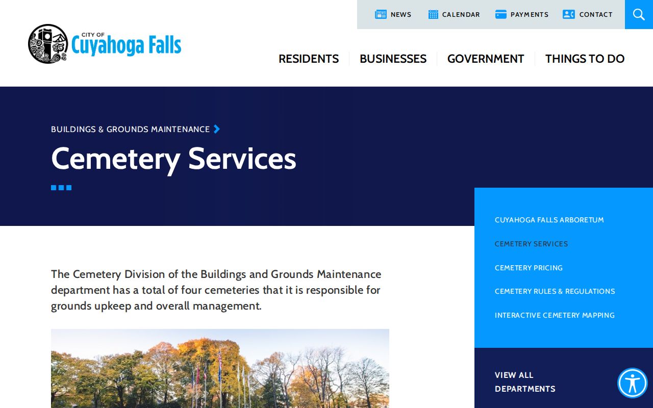
Oakwood, Northampton, Harrington, and Botzum are city-owned cemeteries. Call Cemetery Operations at 330-971-8446 with a decedent name, cemetery, and approximate burial period when a portal result needs confirmation.
For a smaller historic source, review the Harrington Cemetery records before using this Cuyahoga Falls previous residents image.
Harrington entries can include marker-condition notes such as no marker or a damaged marker, which makes a no-result conclusion especially cautious.
Cuyahoga Falls Past Residents Limits
A deed chain proves a documented property transfer, not that each owner lived at the address or that every household member is named. Directories and census records are also dated snapshots. Use each source for what it actually records, compare dates, and preserve uncertainty when the address, name, or geography does not match. The current parcel owner is especially easy to confuse with a present occupant or a past household.
Lawful historical use. Cuyahoga Falls address research is appropriate for family history, estate questions, and property history. Do not use public records to track, threaten, stalk, or harass any living person. Ohio law prohibits menacing by stalking under R.C. 2903.211.